"Côtes du Rhône Gardoises
Presentation
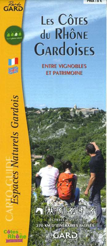
This simplified map shows a network of over 270km of trails, with some 30 suggested walks, most of which are accessible on foot, horseback or mountain bike.
A land of passage, a land of trade, but also a land of religious struggles and political confrontations, the Rhône coast marked the ancient border between the French kingdom and the Holy Roman Empire. Blown by the mistral wind, gorged with light, the vast landscapes where prestigious vineyards gracefully blossom have been shaped by deep geological movements that offer a breathtaking view of history and human activity. Today, grouped around a catchment area of almost 300,000 inhabitants, the two conurbations converse on either side of the Rhône and are undergoing dynamic development, sparking ambitious projects and attracting major investment.
The trails and outdoor activity sites featured in this Carto-Guide comply with the quality charter associated with the "Gard Pleine Nature" label, which signals the commitment of the Conseil général du Gard and its partners to the knowledge and preservation of natural areas and the controlled development of outdoor activities.
The trails and outdoor activity sites featured in this Carto-Guide comply with the quality charter associated with the "Gard Pleine Nature" label, which signals the commitment of the Conseil général du Gard and its partners to the knowledge and preservation of natural areas and the controlled development of outdoor activities.
Tarifs
| Fares | Min | Max |
|---|---|---|
| 01/01/2021 - 31/12/2026 | ||
| Adult | 5.00€ | |
Adult: 5 €.
FICHE_INFO_SIMPLE_LIBELLE_DESTINATION
"Les Côtes du Rhône Gardoises"
30126
Saint-Laurent-des-Arbres
GPS coordinates
Latitude : 44.05478
Longitude : 4.699594


