PR 31 Les Collines Rhodaniennes
Presentation
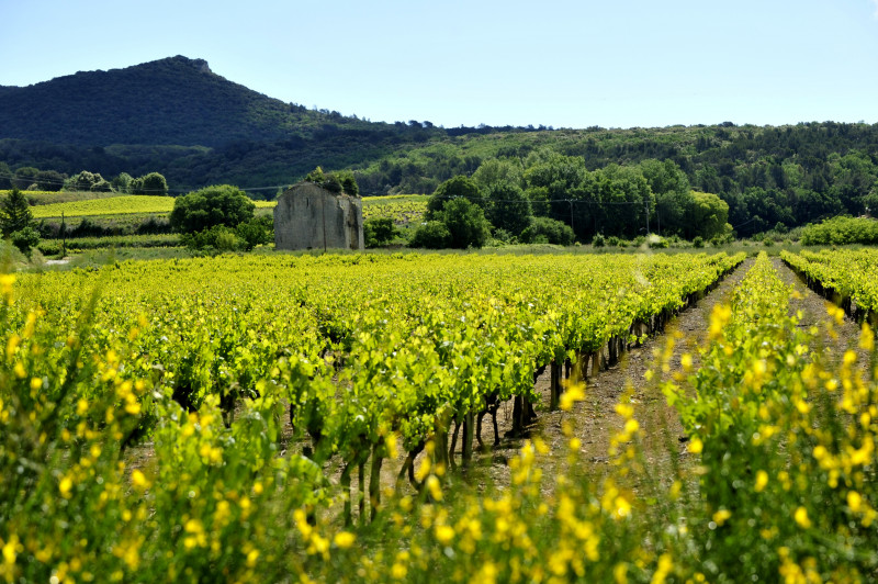
Between the Rhone and Cèze valleys, from the picturesque town of Vénéjan, contemplate history and nature as you pass by chapels, castles and panoramic views, set against a backdrop of garrigue and medieval remains.
From the start, walk up the Grand'Rue towards Vénjan town hall, then the town church. After the church, follow the signs for "Portalet", then cross the public garden to reach the "Chapelle Saint-Jean-Baptiste", then turn right.
At "Les Hauts de Vénéjean", cross the plateau and follow the signs for "Le Jonquier". After Mas de Rouvier, follow the track to the left at the foot of the hills.
At the "Le Jonquier" crossroads, continue straight ahead towards "Bois de la Rouvière", "Bois de Mourre de la Folle" and then "Fontaine Vente Paris". Take the climbing path.
At "Bois de Vente de Paris", take the road opposite towards "Chemin Neuf", which descends towards Chusclan. Follow the signs for "Falaises du Chemin Neuf" and take the small footpath that runs above the village. Turn left onto the track leading to "Les Combes". Follow the track for 1.5km to a small road.
At "Fontaine du Renard", follow the road to the left towards "La Gravière".
After 500m, at "Bois de Gicon", turn right towards "La Mascadière" on a sandy track that joins a small road. Follow this road through the Chusclan vineyards to "La Ferme de Gicon".
Then take "Les Dessus de Gicon" (you can go back and forth to the château by following "La Citerne"), then continue straight ahead towards "Les Hauts de Vénéjan". Then follow the same path as on the outward journey, via the signposts for "Chapelle Saint-Jean-Baptiste", "Portalet", "Eglise de Vénéjan" and "Vénéjan - Mairie".
Vénéjan - Mairie".
Further information on the route is available from our Destination Provence Occitane Tourist Offices, or in our "Autour du Camp de César" guidebook.
Maintaining, informing and promoting nature trails is everyone's business. So remember to do the right thing for the environment, and take a walk in Provence Occitane.
An audioguide of the trail is available via the Rando Gard smartphone app, downloadable from App Store and Google Play.
FICHE_INFO_SIMPLE_LIBELLE_DESTINATION
PR 31 Les Collines Rhodaniennes
Parking bord de la RD148.
30200
Vénéjan
GPS coordinates
Latitude : 44.196571
Longitude : 4.653466
Contact
PR 31 Les Collines Rhodaniennes
Parking bord de la RD148.
30200
Vénéjan
Phone : +33 (0)4 66 39 44 45


